Ardhi Institute Morogoro – Chuo cha ardhi Morogoro Arimo [www.arimo.ac.tz];- Ardhi Institute Morogoro had its beginning in early 1958 when it started as a Survey Training Centre for the purpose of training land surveying technicians for the duration of six months for each intake. By then, the location of the centre was at Mgulani area Dar es Salaam city.
In 1966, the course was restructured to one – year theory and one year in industrial training. The entry qualification was form four. The re-structuring changed the location from Mgulani to Observation Hill/Makongo area where the Ardhi University (ARU) is presently situated.
Ardhi Institute Morogoro – Chuo cha ardhi Morogoro Arimo [www.arimo.ac.tz]
Basic Certificate in Geomatics
BASIC CERTIFICATE IN GEOMATICS (NTA Level 4)
Description
The Basic Certificate in Geomatics programme is designed for field survey assistants that work under the direction of land surveyors and adjust and operate surveying instruments (such as total stations, GPS Receivers etc) as well as data collection.
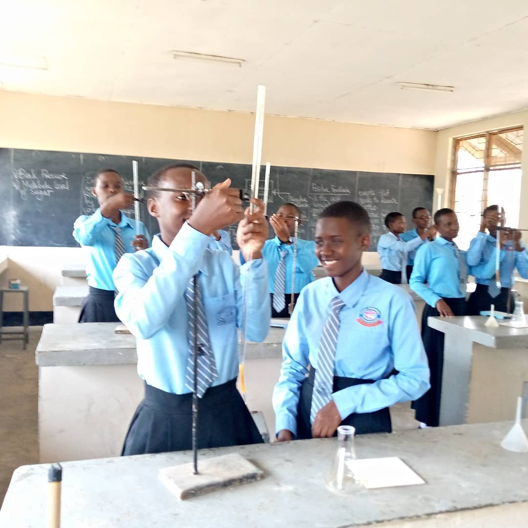
For Basic Certificate students, practical work is considered to be an essential part of the programme, allowing a student to develop their practical skills in Geomatics/engineering applications. The Philosophy of field work is to support the learning process, give knowledge by direct observation and fact finding in contrast to fact-learn. Field work practical illustrates principle, experimental technique, and observation.
The programme comprises 14 modules that are spread over two semesters. Each academic year has two semesters. Each semester consists of 15 weeks for classroom activities and on campus practicals and 2 weeks for written examinations. Therefore the whole programme has a total of 34 weeks of study for the full-time attendance mode.
Qualification Outcomes
Upon completion of the Basic Certificate in Geomatics programme, graduates should be able to:
- Check and careful handle surveying instruments;
- Adjust and operate surveying instruments both in field and office;
- Assist land surveyors in field data collection in control establishment, cadastral surveying, engineering constructions and GPS mapping.
Mode of Delivery
The programme is offered on full-time mode.
Diploma in Geomatics
DIPLOMA IN GEOMATICS (NTA Level 5-6)
Programme Aims/Purpose:
Ardhi Institute Morogoro (ARIMO) purposely designed the Diploma in Geomatics (NTA Level 5 – 6) programme to prepare students for a career as survey technicians, with specialized knowledge and skills in the acquisition, processing, presentation, and management of geospatial data.
The programme provides a systematic and coherent introduction to the main theories, principles, concepts, data, and problem-solving techniques in Geomatics. The programme will enable students to acquire knowledge and problem-solving skills that are necessary for addressing pressing challenges in the field of Geomatics (Surveying and Mapping).
In addition, the Diploma in Geomatics will enable students to develop a sense of social responsibility, and an understanding of the role they can play in control extension, cadastral surveying, engineering surveying, mining surveying, land reform and sustainable development.
Graduates from this programme should have full regard for achieving excellence and maintaining the highest standards of ethical conduct in the practice of their profession. Upon completion of the programme, graduates of this programme will be able to contribute significantly to the attainment of national development objectives in the economy by taking up jobs as survey technicians both in the public and private sectors.
Qualification Outcomes:
Upon completion of the Diploma in Geomatics programme, graduates should be able to:
- Perform surveying and mapping operations, under limited supervision, using a wide variety of equipment, software and techniques, under a wide variety of conditions;
- Conduct cadastral surveys in terms of the Land Survey Act and Regulations, under supervision of a professional land surveyor;
- Assist site surveyors in engineering constructions, mining surveying and control establishment
- Generate and maintain cartographic and GIS databases;
- Perform GIS analysis of spatial data;
- Use and maintain basic land information systems;
- Draw accurately Survey Plans on Computer Aided Drafting (CAD);
Mode of Delivery:
The programme is offered on full-time mode.
Contact Adress
Ardhi Institute Morogoro,
P.o Box. 155, MOROGORO
Fax : +255232600076
Phone: +25523260306


Leave a Reply